Happy Valley
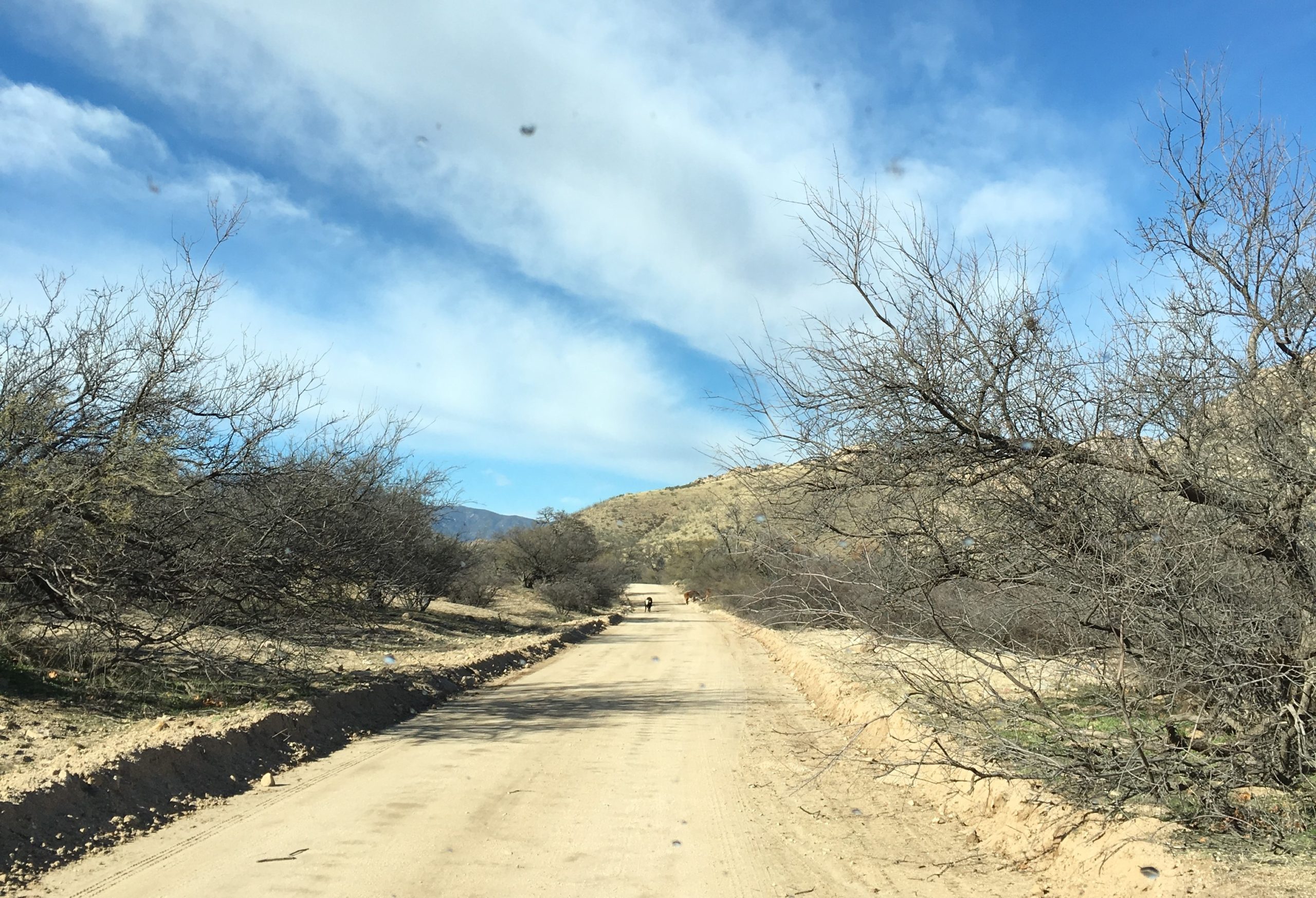
Happy Valley is located along the eastern slope of the Rincon Mountain, east of Tucson, and nestled among rural ranching communities. Two of the area’s highlights are Ash Creek and Paige Creek. These two drainages only hold surface water following rain events, however, they do host some towering sycamore and oak trees, making the area a great draw for birds. For the more adventurous, check out the nearby Miller Creek Trail which is part of the Coronado National Forest.
Site Information
Region: Tucson and Southern
County: Pima
Directions: From Tucson, take I-10 east to exit 297 (Mescal Road). Head north about 14 miles to you see a long stretch of oaks and sycamores.
Latitude: 32.137278
Longitude: -110.477261
Operational Hours: Open all year, 24 hours a day
Admission or Fees: None
Best time to visit: Winter, Spring
Habitats: Desert, Grassland, Pine-oak Forest
Know Before You Go
Summer can be very hot. Bring plenty of drinking water. Summer thunderstorms can produce significant rainfall in a short period of time. Do not cross flooded washes. Be alert for venomous reptiles.
Safety First! Arizona has many beautiful places to explore and we’d like to help you make it a safe and enjoyable experience. Check out our recommendations for hiking precautions.
Species Highlights
Speciality: Gray Hawk
Charismatic: Cactus Wren, Gambel’s Quail, Gila Woodpecker
Contact Information
Santa Catalina Ranger District
Coronado National Forest
5700 N. Sabino Canyon Rd
Tucson, AZ 85750
Phone: 520-749-8700
Website: https://www.fs.usda.gov/recarea/coronado/recreation/recarea/?recid=25596&actid=64
Additional Resources
Learn more about birds reported at this location at eBird:
https://ebird.org/hotspot/L5557080
Additional Resources:
Coronado National Forest
Cienega Creek Natural Preserve
Colossal Cave Mountain Park
Pima County Department of Natural Resources, Parks, and Recreation


