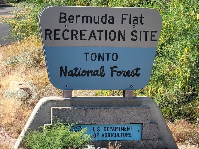
Roosevelt Lake – Bermuda Flat
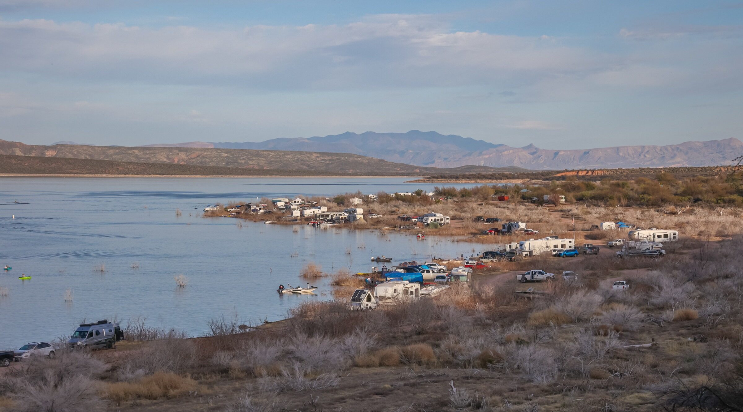
Located along the shoreline of central Arizona’s largest lake. This site provides spectacular views of the Sierra Ancha Mountains and Four Peaks Wilderness. The gently sloping shoreline makes this a wonderful water recreation area. There are miles of expansive grassy areas near the shoreline lined with shade-providing mesquite trees.
Site Information
Region: North Central
County: Gila
Directions: Approximately 7 miles north of Roosevelt Dam. From Mesa: Take State Hwy. 87 (Beeline Highway) north for approximately 60 miles to the junction of State Hwy. 87 and State Hwy. 188. Turn right (south) onto State Hwy. 188 and continue for 26 miles to Bermuda Flat. From the Globe area: Take State Hwy. 188 north for 30 miles to the junction of State Hwy. 88 and State Hwy. 188. Continue north on State Hwy. 188 across the bridge for another six miles to the site.
Latitude: 33.744737
Longitude: -111.226903
Operational Hours: Seasonal closings, check with site manager
Admission or Fees: Tonto Daily Pass ($8.00) or Tonto Discovery Pass
Best time to visit: Open Season: February 16 - November 14
Habitats: Desert, Lake or Pond
Know Before You Go
Camping and boat launch available
Safety First! Arizona has many beautiful places to explore and we’d like to help you make it a safe and enjoyable experience. Check out our recommendations for hiking precautions.
Species Highlights
Speciality: Abert’s Towhee, Lucy’s Warbler
Charismatic: Gambel’s Quail, Gila Woodpecker, Lesser Goldfinch, Phainopepla, Ruby-crowned Kinglet , Verdin, Western Kingbird, White-winged Dove
Contact Information
Tonto Basin Ranger District
Tonto National Forest
28079 N AZ Highway 188
Roosevelt, AZ 85545
Phone: 602-225-5395
Website: https://www.fs.usda.gov/recarea/tonto/recarea/?recid=35725
Additional Resources
Learn more about birds reported at this location at eBird:
https://ebird.org/hotspot/L3471212