Cherry Creek Road
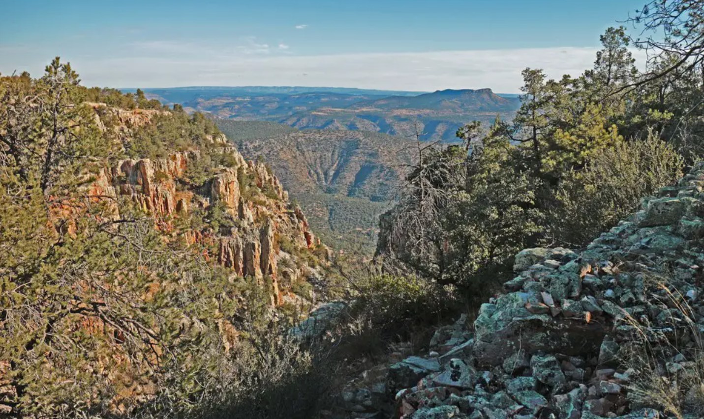
Cherry Creek Road is at the start of an alternative route (to the paved State Route 89A) up Mingus Mountain. The first mile is paved, changing to gravel for the next 10 miles. The road climbs up through low hills, chaparral vegetation and weathered granite formations on its way to the former mining town of Cherry.
If you have a four-wheel-drive vehicle, the challenging series of county and forest roads continue on from this point.
Site Information
Region: North Central
County: Yavapai
Directions: Starting point is at the junction of State Routes 260 and 89A in Cottonwood.
Latitude: 34.600697
Longitude: -111.946497
Operational Hours: Open all year, 24 hours a day
Admission or Fees: None
Habitats: Pine-oak Forest, Pine forest, Stream or river
Know Before You Go
Powell Springs Campground is on the west side of the road just a few miles before Cherry and has pit toilets and picnic tables.
Safety First! Arizona has many beautiful places to explore and we’d like to help you make it a safe and enjoyable experience. Check out our recommendations for hiking precautions.
Species Highlights
Speciality: Acorn Woodpecker, Bridled Titmouse, Broad-billed Hummingbird, Juniper TItmouse, Ladder-backed Woodpecker
Charismatic: Anna’s Hummingbird, Black-chinned Hummingbird, Gambel’s Quail, Lesser Goldfinch, Phainopepla
Contact Information
Prescott National Forest - Verde Ranger District
US Forest Service
300 East Highway 260
Camp Verde, AZ 86322
Phone: 928-443-8000
Website: https://www.fs.usda.gov/prescott
Additional Resources
Learn more about birds reported at this location at eBird:
https://ebird.org/hotspot/L3058408
Additional Resources:
Arizona Highways - Mingus Mountain Back Roads
Creek Area - Prescott National Forest
Powell Springs Campground

